August 30, 2009 Archives
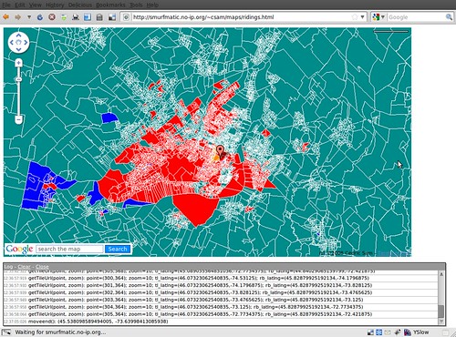
Because to many people, Google Earth is not suitable for all 95% of the computer population out there, Google Maps (and other competing dynamic map platform) is still the way to go to display geographical data.
However, what if the data that you want to display is simply too heavy for the client side to display? For instance, you want to overlay polygons representing electoral districts (each 308 of them in Canada). But loading all of these in Google Maps is not practical for the average computer in 2009.
You might want to explore a server-side method to serving the data. This could be with MapServer, which in a nutshell serves image "tiles" (we make them to be 256x256 PNGs for Google Maps) to the client. For instance, the following image may be such a tile:
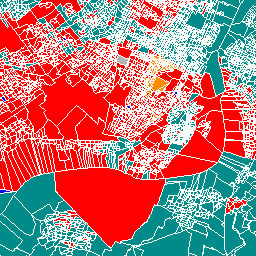
Behind the scenes, MapServer goes to the data source and outputs by CGI the right image. The data source can be a Shapefile or other, but can also be a database, namely a PostgreSQL DB with Postgis. Read the MapServer FAQ to see how awesome it can be.